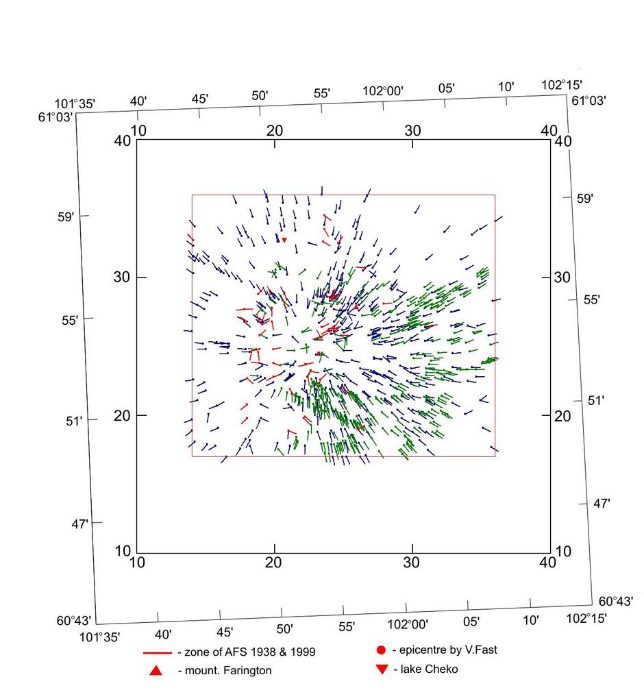
In the figure: 1) Green - the trial area averaged azimuths obtained, in the central part of the explosion site, from the study of Kulik's 1938 aerophotosurvey.
2) red - azimuths obtained from the data collected in 1967 by Anfinogenov group and never published up to now.
3) blue - revised azimuths extracted from the whole set of Fast data [1958-1976] after the introduction of the necessary corrections.
In the figure, the external frame represents Fast "kilometer coordinates", while the inner - the standard geographical ones.
(see papers: pdf, 211 kb, pdf, 18.9 Mb, doc, 764 kb,
pdf, 1326 kb).