The 1938 and 1999 aerophotosurveys


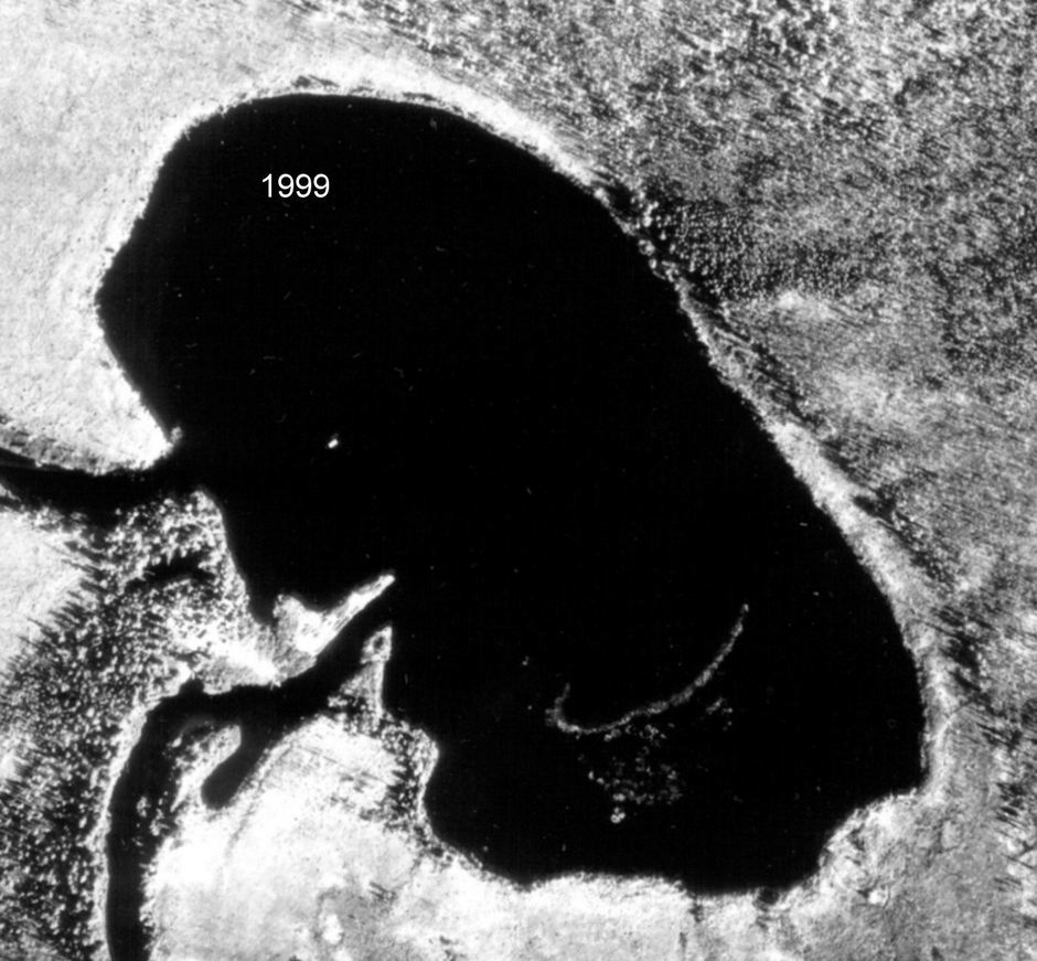
Aerial photo (26 July 1999) of the lake Cheko.

The analysis of the 1938 images showed that a considerable part of the imaged area was at that time covered by the grown forest, thus significantly masking the trees overthrown by the explosion. This drawback has been partially overcome with the help of the 1999 aerophotographic survey. On the nineties, in fact, extensive fires affected the Tunguska region and in the 1999 aerophotosurvey there are some places that appear cleared thus allowing to see the fallen trees more clearly than in 1938. The 1995 fire in the neighborhoods of the Lake Cheko, for example, made it possible to see on the Northern lakeshore some details not visible in the corresponding 1938 image (see below). (see papers doc, 764 kb, pdf, 1326 kb, pdf, 18.9 Mb).

To download higher resolution images of the Lake Cheko click here: 1999 - 257 kb or 2 Mb, 1938 - 907 kb
These images can be copied and published only with a full reference to:

Longo G., Di Martino M., Andreev G., Anfinogenov J., Budaeva L., Kovrigin E.: "A new unified catalogue and a new map of the 1908 tree fall in the site of the Tunguska Cosmic Body explosion." In: Asteroid-comet Hazard-2005, pp. 222-225, Institute of Applied Astronomy of the Russian Academy of Sciences, St. Petersburg, Russia, 2005. (pdf, 211 kb)


Back to the Aerophotosurveys

Back to the Terra Nova file

Back to the Photo Gallery

Back to the Tunguska Home Page