The 1999 aerophotosurvey
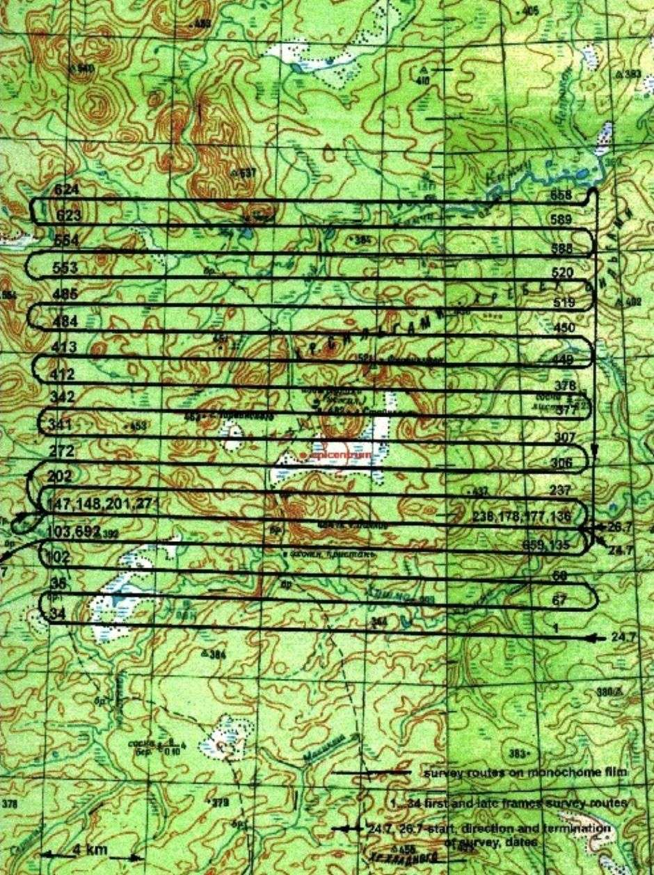
The 1999 aero-photographic survey covered a surface of 300 km2 between the latitudes 60° 50' 00" N and 60° 58' 30" N and between the
longitudes 101°45' 00" E and 102° 05' 00" E. The photographs (see montage) have been taken in the scale 1:8000 and 1:14000 with coverage of 60% (long.)
and 30% (lat.). In parallel, a line scanner made simultaneously a survey in 6 spectral bands, from optical to thermal infrared: 0.43-0.51 µm,
0.50-0.59 µm, 0.61-0.69 µm, 0.76-0.90 µm, 1.5-2.5 µm and 8.0-12.5 µm. During the flight, the aircraft position was continuously monitored
with a GPS system and the geographic coordinates were linked to the photographs (see papers doc, 764 kb,
pdf, 1326 kb, pdf, 18.9 Mb).
In the figure: Flight routes of the 1999 aero-photosurvey.
 Back to the Aerophotosurveys
Back to the Photo Gallery
Back to the Aerophotosurveys
Back to the Photo Gallery
Back to the Tunguska Home Page