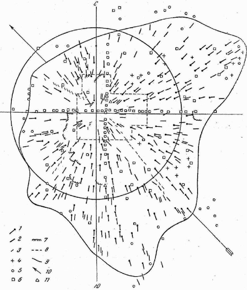
Fast map of fallen tree distribution, as it appeared in 1961 on the basis of azimuth data measured in 1958-1961.
Fast map of fallen tree distribution, as it appeared in 1961 on the basis of azimuth data measured in 1958-1961.
This map showing a butterfly distribution was used in the last 40 years for comparison with theoretical models. Now an updated map is available. (See image).