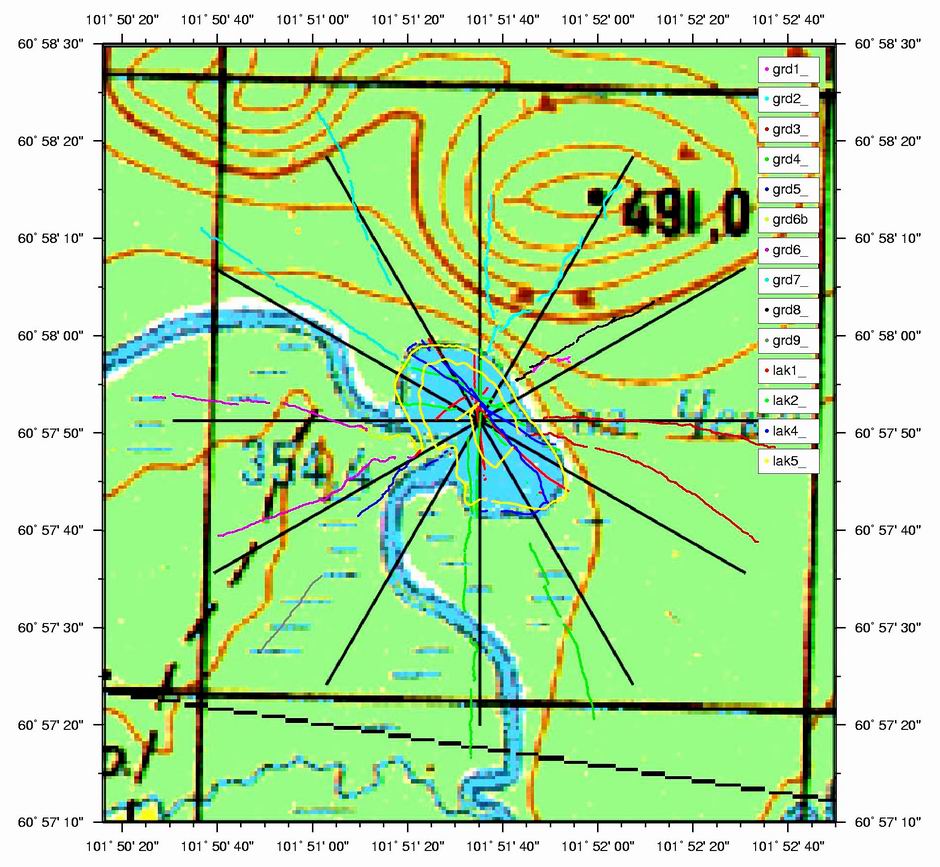
Magnetic field intensity measurements were performed on the lake Cheko and its shore along different radial directions around the maximum depth point. The straight lines on the figure indicate the planned measurements, while the other black, blue and red lines correspond to the real measurement paths. See: G. Andreev, M. Serrazanetti et al., paper to be published.